[class quote]Of what avail are forty freedoms without a blank spot on the map? —Aldo Leopold
[class wide]

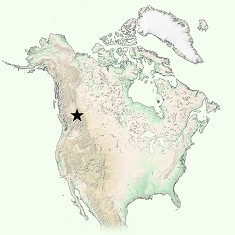
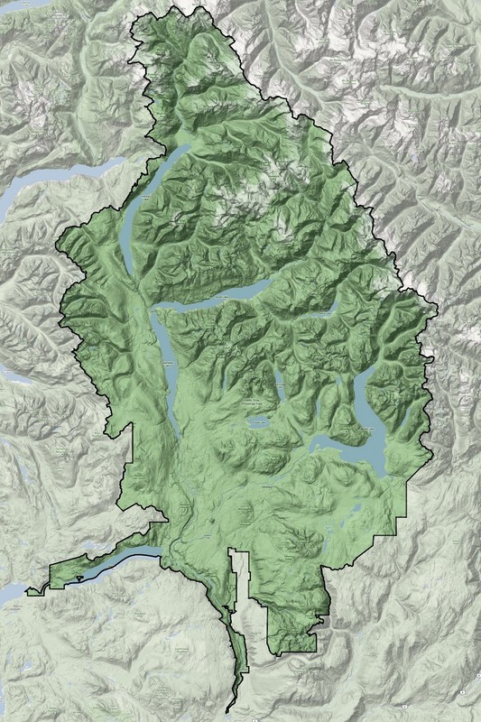
For sheer conservation value, Wells Gray is as good as it gets at temperate latitudes. Not only are its boundaries coincident with the watersheds of three major rivers – the Murtle River, the Azure River and the Clearwater River – they also encompass tremendous biological and geological diversity.
East and north, Wells Gray bristles with unnamed peaks interrupted here and there by deep fjord-like valleys, each with its long narrow lake. South and west, the terrain is gentler, more hospitable, with expansive flower-strewn highlands that top out in rounded alpine summits and give way below to the flat-bottomed lap of the Clearwater Valley itself.
Periodic volcanic outpourings over the past few million years have transformed this portion of the Clearwater Valley into a potpourri of volcanic features including basaltic plateaus, lava flows, cinder cones, under-glacier volcanoes and, in one case, a curious underwater volcano.
This “portal on the park” is designed for visitors who wish to learn about the wild living things – eagles, ancient trees, grizzlies, mountain caribou – that find safe haven here. To help get you started, here are some popular magazine articles from some years back: Valley of Fire & Ice; Burning Questions; Winter of Wells Gray. You also might want to check the side bars at right, which provide a thumbnail introduction to the park’s natural history.
The staff at the Wells Gray Info Centre in Clearwater will be happy to answer any further questions or help you plan a visit. You can contact them at info@wellsgray.ca.
Next up: Weathering Wells Gray