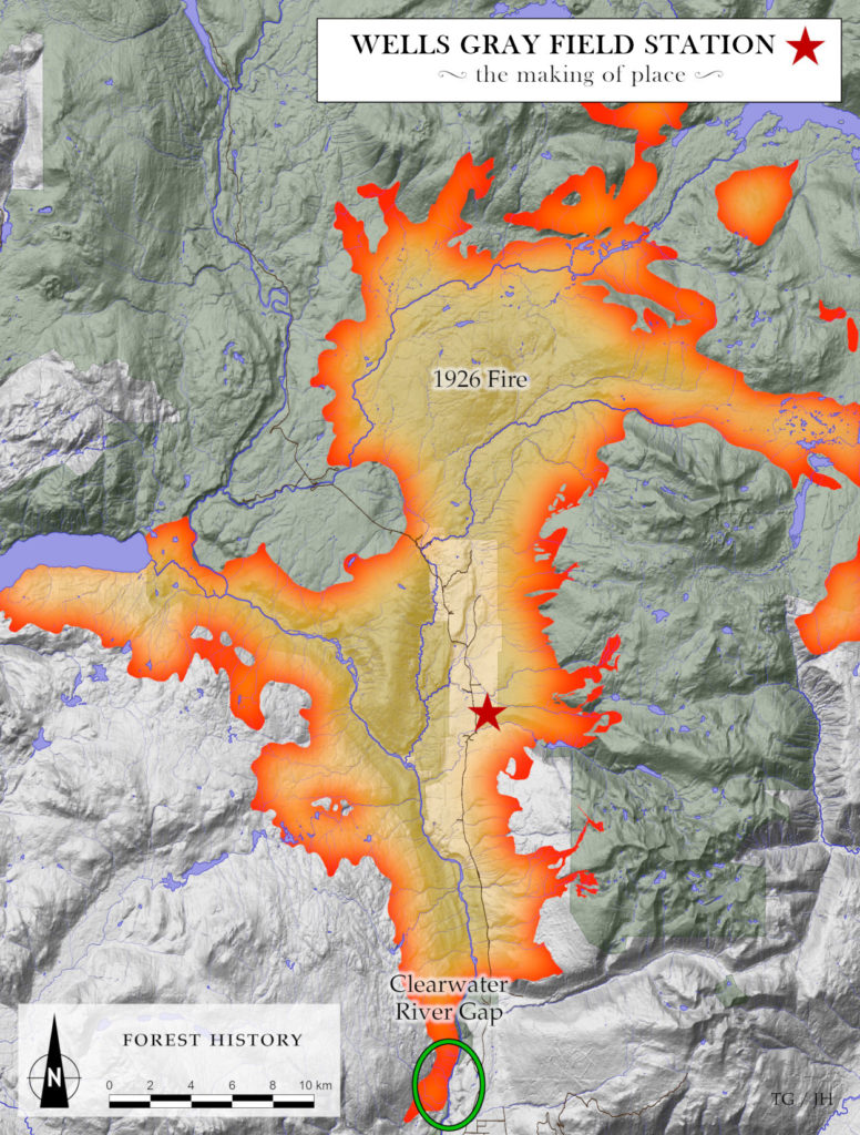
n the 26th of July 1926, a massive fire swept up the Clearwater Valley, starting near Spahats Creek in the south and shortly encompassing most of the valley north to the Mahood and Murtle Rivers, as shown on the map. By the time it reached Upper Clearwater, it was fanned by winds so powerful that fire brands were reportedly carried miles ahead of the advancing wall of flames, creating new fires that enlarged the already-massive conflagration moving north.
Whether this holocaustic event got started as a lightning strike or whether it took off from an abandoned fisherman’s campfire is not known; but either way it was, by any definition, a fateful event. Indeed, the fire of 1926, the first such fire in many hundreds of years, laid the foundation, in rapid succession, of a hunter’s paradise, a tourist hot spot and, thirteen years later, in 1939, Wells Gray Provincial Park.
The tale told more fully elsewhere xxx; here’s it’s enough to note that this wildfire set the valley’s forest ecosystems back to the beginning, so that nearly every forest you’ll encounter in north of Spahats Creek dates from this single event.
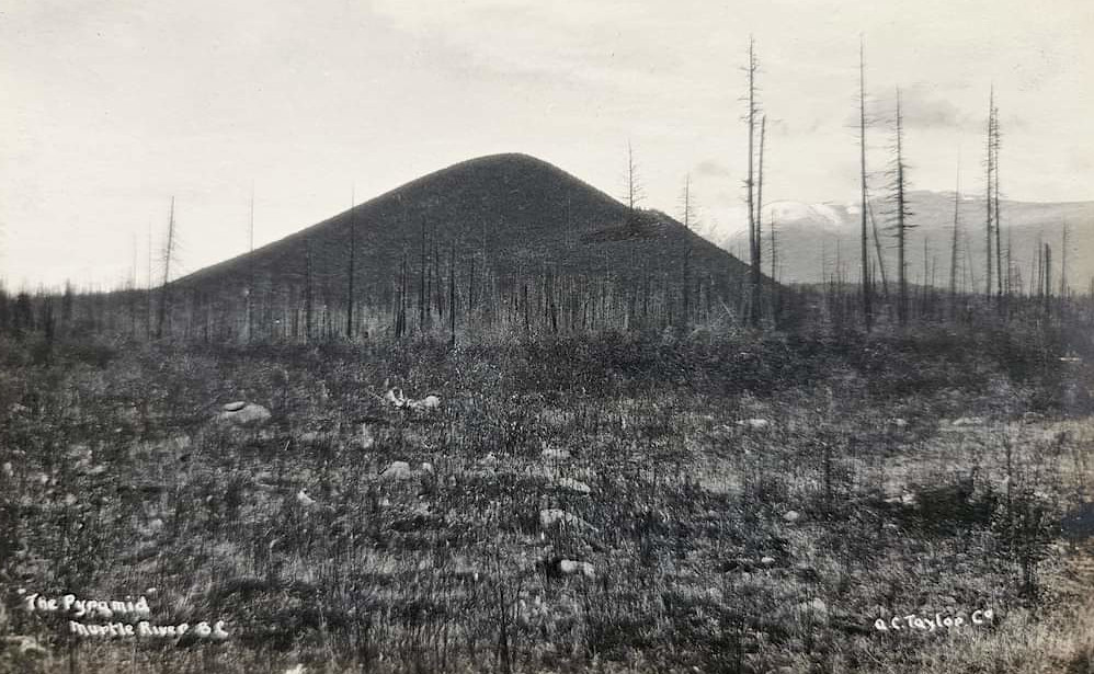
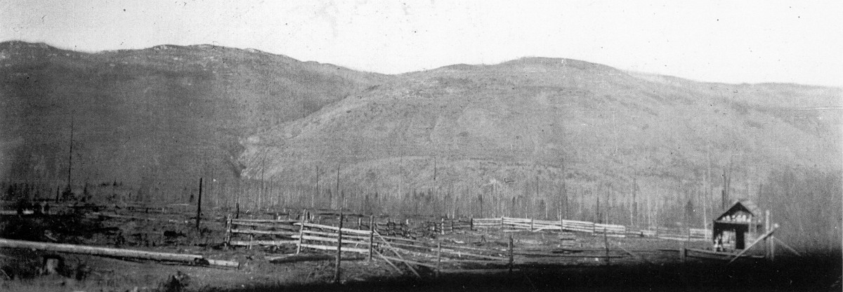
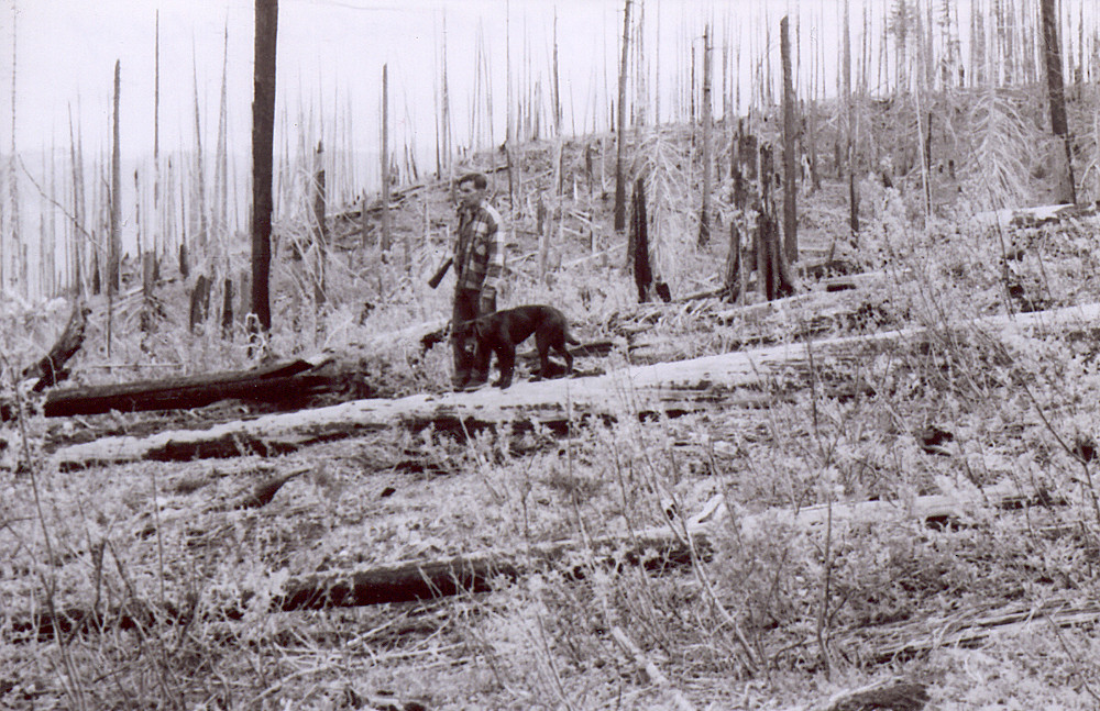
What the fire of 1926 has meant for scientific research in the valley – forest research, wildlife research, botanical research, and so on – is that all of it has been conducted against a backdrop of forest regeneration dating from that fateful day nearly a hundred ago.
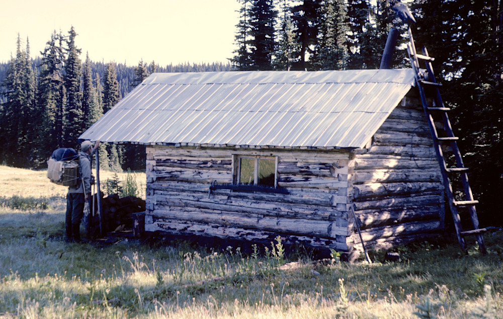
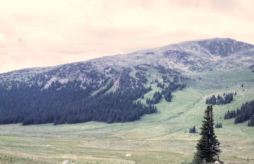
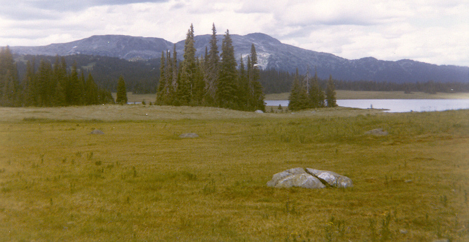
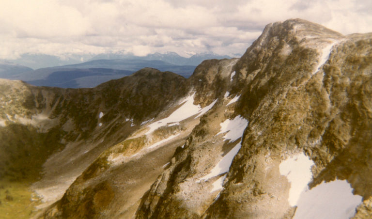
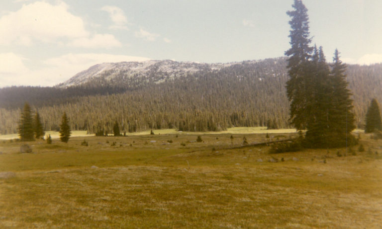
This page is dedicated to historic images that document the process of forest regeneration between the 1930 and the 1970s. It has a dual purpose: first to bring to light an important in the history of the valley, one that greatly impacted its early settlement for example; and second, to provide a helpful research tool for researchers working out of the newly established Wells Gray Field Station just across the road from Edgewood Blue.
Do you have an historic image or two you’d like to share on this web page? If so, please don’t hesitate to reach out to me, Trevor Goward, at my e-mail address or else contact me here.
Photographic record of Wells Gray Park from earlier generations
1930s | 1940s | 1950s | 1960s | 1970s
1930s
1940s

